 |
| On Big Ben Road |
It's been an uneventful Winter and Spring, riding-wise for me. I am getting some miles under my belt and am anticipating a century soon, hopefully before I depart on a month long European River cruise in June!
 |
| On Mcourtney Road |
The longest of my rides was a 100k ride which went through the lower foothills and across the farmlands and orchards north of Lincoln. Nothing really impressive, but I did explore some portions of the flatlands I hadn't tried before and I will incorporate them into my annual "Three Rivers Century" coming soon!
I also did one long fixed gear ride, starting at Lincoln's McBean Park, I rode up to Sheridan and then took Riosa Road west to Pleasant Grove Road at the Four Corners Market. Instead of turning south on Pleasant Grove, I continued straight. This took me to Swansons Road which bends south and crosses the river. Then I continued south on Pacific Road to Trowbridge/East Nicolaus. At that point I turned east and took the familiar route back to Lincoln. In all, over 40 miles on a fixed gear!
 |
| Well, it was a flat ride! |
Otherwise, I've been doing my usual local rides, except now I start in Rocklin instead of Loomis. Getting out of Rocklin is a little tedious but I can get to my old routes without too much struggle.
 |
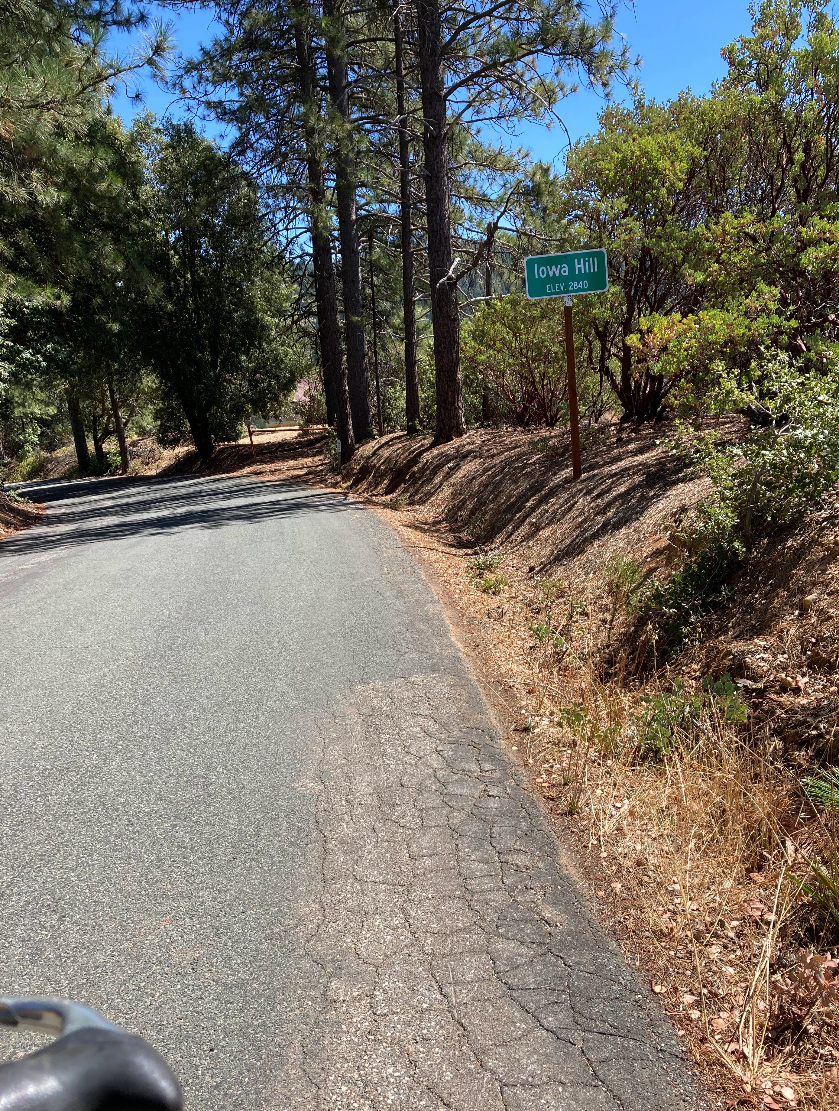
| On Old Foresthill Road |

For a freewheel, I used an old SunTour New Winner Ultra six, this gives me the six gears while keeping the wheel's spacing more centered. I like the New Winner. I always found them to be reliable and robust. Although the body only has a 2 prong connection for removal, I never had a problem with them, since those two prongs are nice and deep. The later 4 prong bodies never seemed to have a very secure lock and I did have some problems with them. Sadly, the newer model Suntour freewheels used and different system of securing the cogs to the freewheel, so those cogs are not compatible with the New Winners that I prefer.
This has led me to a new hobby, rebuilding New Winner freewheels! The spacing of the New Winners' cogs had been a mystery to me, but I found a copy of a Suntour technical bulletin on the New Winner which included the diagram shown below:
 |
| New Winner cog chart! |
The lower diagrams broke down the spacer locations and specs. This is really useful when assembling a cog set for this freewheel. Between the assortment of old New Winners I had and a couple of purchases off eBay, I am able to prepare a couple of Ultra 6 freewheels with the 13-28 tooth combinations I wanted for the Raleigh!
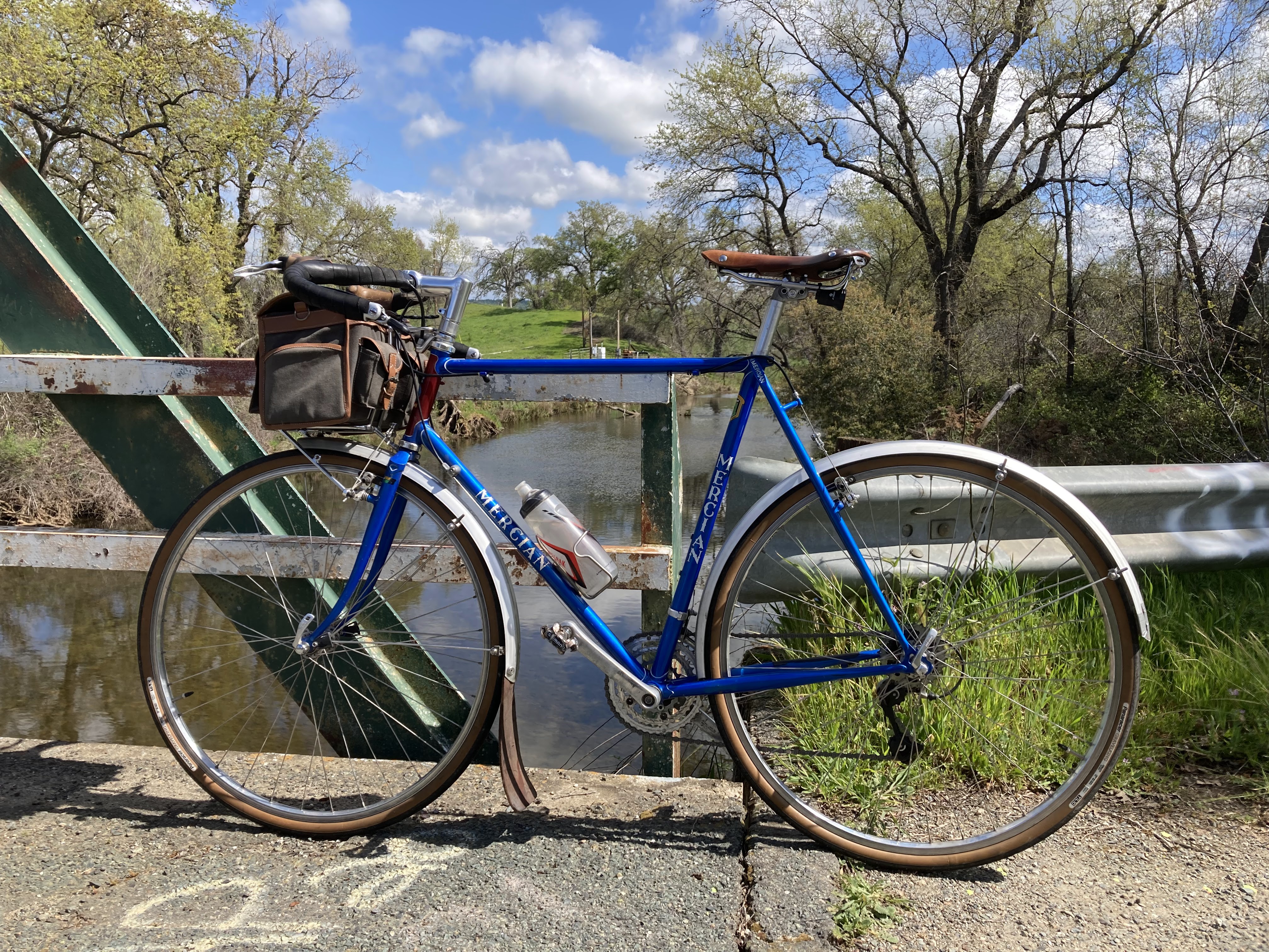
Replacing the brakes on the Raleigh meant I now had a spare set of normal reach Campy brakes. I put them on the "go-fast" 1980 Mercian Olympic, replacing the Gran Compes. While I kept the Tektro levers on for now, I may install the original Campy non-aero levers someday.
Finally, I replaced the stem on my KOM with a Velo Orange Tall Stack for a cleaner look. At the same time I re-installed the VO Decaleur to help support my handlebar bag which had been sagging a bit lately.


.png)


.jpg)


.png)


.jpg)

